Unseen Potential of Autonomous Drones in Estate Management - Precision Agriculture with Purpose-built Hardware
Codemonk Explores the Creation of Digital Twins of Agricultural Landmass for Estate Management and Crop Analysis using a custom-built drones, coupled with thermal imagery and autonomous flight capabilities
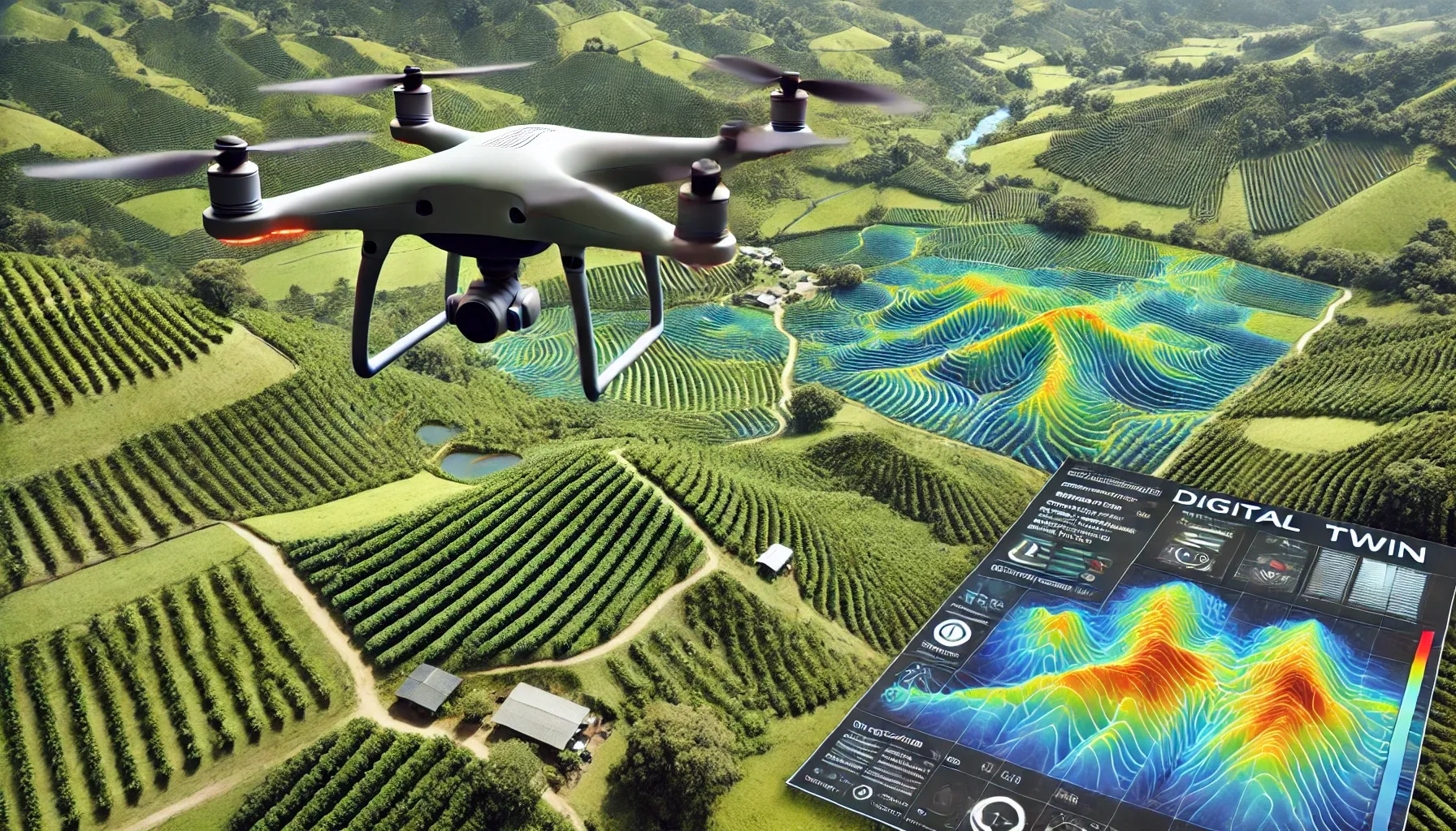
In the vast expanse of technological evolution, the humble purpose-built drone has soared from a niche hobbyist gadget to an indispensable tool across numerous industries. From encouraging ambitious aviation enthusiasts to fuelling the fire of product engineering studios, hand-built drones surpass the capabilities of much more commercial drone technology such as the ones sold by industry leaders such as DJI. Simply put, when engineers are given the capability to control every rotor in use, sky is truly no longer the limit. And for business leaders, the capability to deploy technological solutions without burning a hole in their pockets becomes even more promising to say the least.
Today, we at Codemonk, showcase what this tailored technology can do when equipped with utility-driven functionalities on the agricultural front, where we do not just talk about autonomous flight, but rather explore how we interact with the land beneath us as we take flight.
In setting the context for this piece, we would like to draw your attention to our recently published findings about vegetation analysis and crop monitoring using autonomous drone surveillance technology. Continuing this train of thought, today we shall understand how autonomous flight can be implemented to solve critical, labour, and resource intensive operations.
The Technological Backbone
Below is a sneak peak of the hardware selected to solve problems that traditional require more time, money, and effort.
The Arduflight Advantage: At the heart of our SkySurveyor lies Arduflight, an open-source titan in UAV firmware. Its adaptability is legendary, allowing for bespoke mission parameters that can be tweaked for precision flying or autonomous surveys. Imagine programming a drone to follow the exact contours of a vineyard or the complex geometry of a construction site, all with the touch of a button. Autonomous Navigation becomes as simple as drawing lines on Google Maps.
Raspberry Pi 4 - The Mighty Mini: The choice of Raspberry Pi 4 as a GCS might raise eyebrows until you realize its potential. This isn't just about controlling the drone; it's about on-the-fly data processing, real-time analytics, and even AI integration for pattern recognition, all from a device you could lose in your pocket.
Axisflying 640 Thermal Imaging Camera 640*512 60FPS 40MK Thermal Camera for FPV Drone Camera : With thermal imaging, our drone doesn't just fly; it streams heat maps from the sky. In surveillance, such detail can mean the difference between spotting a crack in a dam or missing it entirely. As you read ahead, you will essentially understand what this level of clarity can provide to the technologist exploring autonomous flight and low-latency, high-resolution video feed.
You could read at great lengths about the code that drives this impressive hardware in our previous article. These components provide us actionable insights on the ground, while soaring several meters about the sky. Together, these smaller pieces of utilitarian technologies constitute our SkySurveyor - an autonomous-flight-capable 5-inch quadcopter, armed with thermal imaging, controlled by a ground control station (GCS) located several kilo-meters away from the landmass under inspection. We then support this nimble hardware with a much more competent, industrial version of the SkySurveyor.
Expanding the Argicultural Horizon: Application in Detail
In the last two and a half years, some of the notable applications addressed by Team Codemonk is within the agricultural landscape, specifically in Coorg, Karnataka, where we tried to minimize the the resources allocated a 10-acre coffee plantation.
Step-by-Step Plan for Drone-Based Coffee Estate Management
Phase 1: Initial Assessment and Setup
Site Survey and Mapping:
- Objective: A detailed topographic map of the estate using photogrammetry.
- Method: Flying the drone over the 10-acre estate to capture high-resolution thermal images to construct a digital twin of the Coffee Estate, thereby modelling the vegetation of the landmass, while also locating resources such as natural water reservoirs and more
- Tools: Thermal imaging adds additional layers of detail to the photogrammetry pipeline for terrain topology analysis
- Outcome: A 3D model and a detailed map of the coffee estate showing topography, plant distribution, and irrigation layouts.
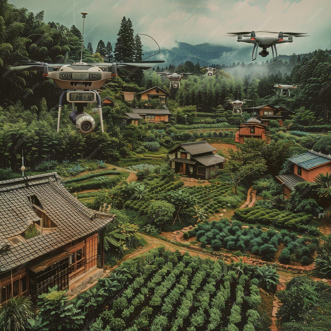
Installation of Ground Control Points (GCPs):
- Objective: Improve the accuracy of drone mapping and create periodic mission plans for surveillance and monitoring.
- Method: Place GCPs at specific locations across the estate, thereby providing failsafe touch points for the drone to guide itself back to the launch or land in case of emergencies
- Tools: GPS-enabled devices for accurate positioning of GCPs.
- Outcome: Enhanced accuracy of drone-captured images and maps for better analysis.
Phase 2: Weekly Crop Monitoring and Health Analysis
Vegetation Health Monitoring (NDVI Mapping):
- Objective: Monitor plant health to detect early signs of water stress, pests, and diseases.
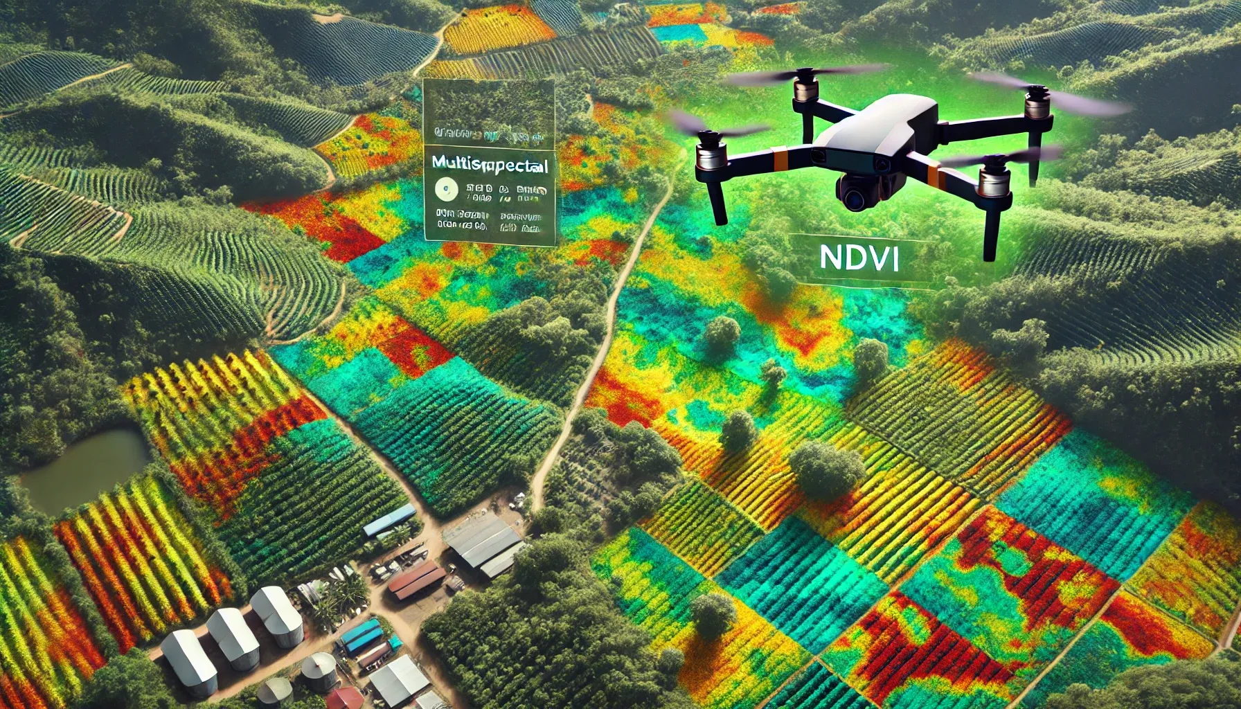
- Method: Use multispectral or RGB cameras to capture NDVI (Normalized Difference Vegetation Index) images. Normalized Difference Vegetation Index mapping, is a remote sensing technique that uses light reflectance to create maps of vegetation health and density. The installed thermal imaging camera captures images of the landmass below to address the aforementioned objective.
- Outcome: A color-coded NDVI map that shows healthy (green) and stressed (yellow/red) areas of the coffee plants.
Sunlight and Shade Analysis:
- Objective: Ensure plants receive adequate sunlight/shade throughout the day.
- Method: Perform drone flights at different times of the day to capture sunlight exposure and shade patterns.
- Tools: Use drones with regular cameras and combine the data with aerial mapping software to analyze light exposure.
- Outcome: Insight into how much sunlight/shade each area of the estate receives, allowing for better plant placement and adjustments.
Flower and Germination Monitoring:
- Objective: Track flower blooming and seed germination progress.
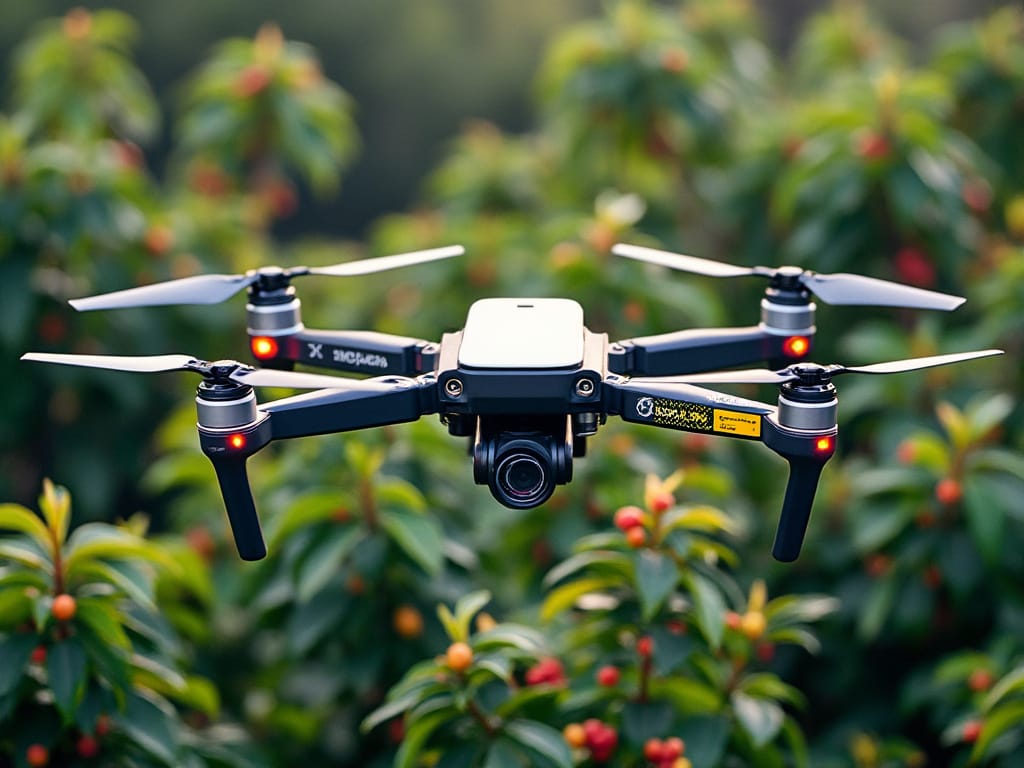
- Method: Capture high-resolution images of the crops to observe changes in flowers and seeds weekly.
- Tools: High-resolution camera drones and machine learning algorithms for flower detection and tracking growth stages.
- Outcome: A visual record of blooming patterns and seed germination, providing insight into crop cycles and any necessary intervention.
Phase 3: Irrigation and Water Management
Irrigation Mapping:
- Objective: Ensure uniform water distribution and detect any areas of over- or under-irrigation.
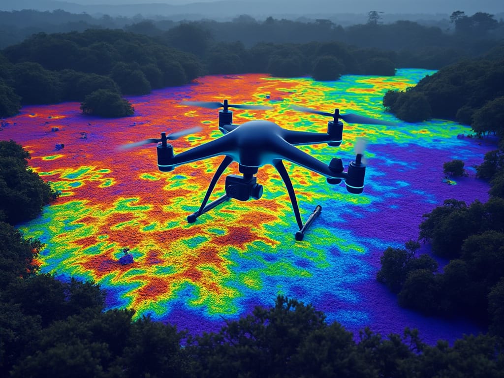
- Method: Use drone thermal imaging to identify areas of the estate that may require more or less irrigation.
- Tools: Thermal cameras on drones, combined with image processing tools like DroneKit and OpenCV provide us insights will be relayed back to the agriculturist tending to the vegetation.
- Outcome: A heatmap that shows water distribution across the estate, highlighting areas needing adjustment.
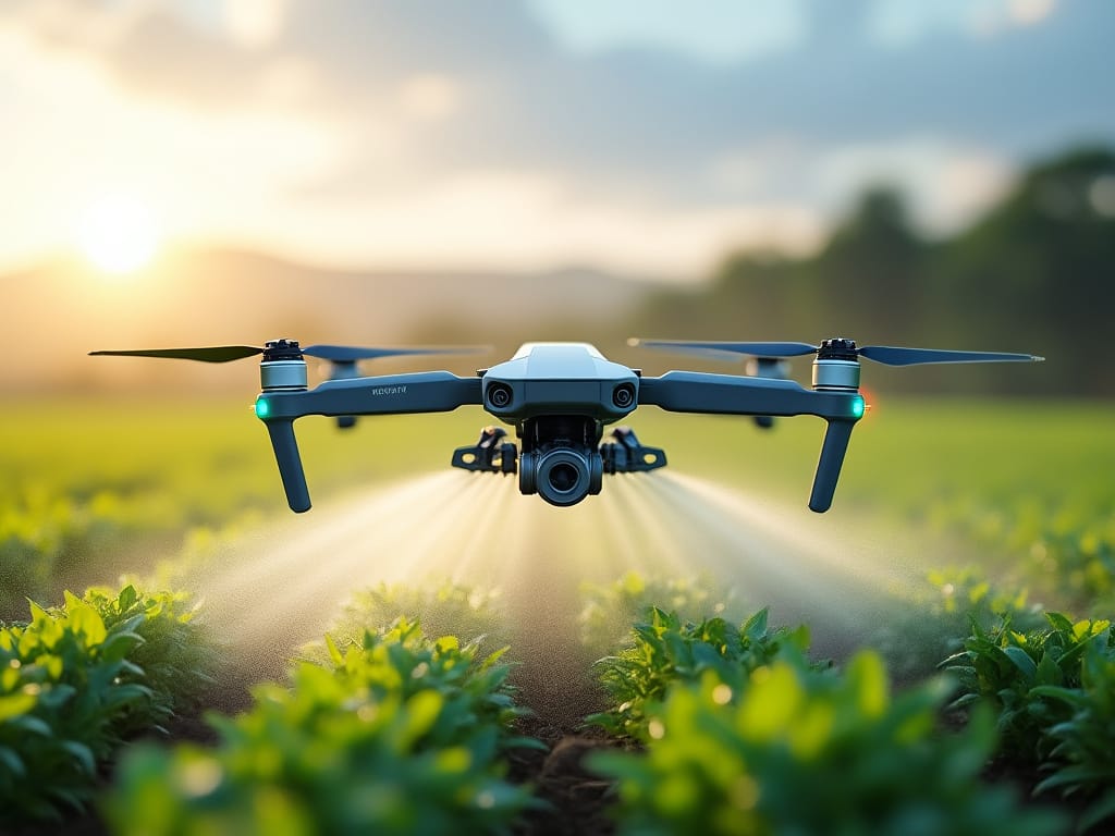
Automated Drone Irrigation: Yes, we need a bigger drone with greater payload capacity for this specific use case, but factoring in the thrust-to-weight ratio, we simply use a larger more rigid carbon fibre frame with brushless-motors producing enough thrust to carry a water hose.
- Objective: Use drones to apply precise irrigation to targeted areas.
- Method: Attach water-spraying systems to drones, which will irrigate based on data collected from the NDVI and thermal maps.
- Outcome: Optimized water usage, leading to more efficient irrigation and reduced labor costs.
Phase 4: Monthly Crop Reporting and Corrective Actions
Monthly Performance Report:
- Objective: Provide a detailed report on the estate’s crop health and performance.
- Method: Compile weekly NDVI maps, sunlight analysis, flower/germination progress, and irrigation data into a comprehensive report.
- Tools: Reporting tools integrated with drone software (such as Pix4D or DroneDeploy) to generate visual and analytical reports.
- Outcome: A month-by-month comparison of plant health, productivity, and growth, allowing for data-driven decision-making.
- Corrective Action via Drone Spraying:
- Objective: Apply fertilizers, pesticides, or other necessary treatments to specific areas of the estate.
- Method: Use drones equipped with sprayers to apply corrective treatments only to areas that require attention, based on monitoring data.
- Tools: Drones such as the DJI Agras for automated spraying, programmed based on the NDVI and thermal data.
- Outcome: Targeted application of treatments, reducing costs and environmental impact, and improving overall crop quality.
Phase 5: Cost Estimation and ROI Calculation
The total annual operational cost comes to approximately ₹945,333 (detailed breakdown mentioned below) for basic maintenance operations. This excludes material costs like fertilizers and pesticides, as well as major equipment purchases.
A few key points to note:
- The highest cost components are flowering/germination tracking (₹324,000) and irrigation management (₹290,000), as these require consistent daily attention.
- I've assumed a medium-sized estate of 10-15 acres for these calculations.
- These are conservative estimates and could be optimized based on specific conditions and requirements.
Cost Analysis Breakdown - Using Manual Labour and Minimal Automation
Coffee Estate Maintenance: Annual Cost Analysis
All costs are estimated based on Indian market standards as of 2024
1. Site Survey and Mapping
Frequency: Once initially, updates every 2-3 years
- Professional surveyor (2 days): ₹12,000
- GPS/mapping equipment rental: ₹5,000
- Support staff (2 workers × 2 days × ₹500): ₹2,000
- Documentation and report preparation: ₹3,000 Total for Site Survey: ₹22,000 (one-time) Annualized Cost: ₹7,333 (assuming update every 3 years)
2. Plant Health Monitoring
Frequency: Monthly checks, intensive monitoring during critical seasons
- Plant health expert (1 day × 12 months × ₹3,000): ₹36,000
- Basic testing equipment and supplies: ₹15,000/year
- Support staff (2 workers × 12 months × ₹500): ₹12,000
- Sample analysis and reporting: ₹2,000/month = ₹24,000 Annual Total: ₹87,000
3. Sunlight/Shade Analysis and Management
Frequency: Quarterly assessment, ongoing maintenance
- Shade management expert (4 visits × ₹2,500): ₹10,000
- Pruning labor (4 workers × 4 times × 2 days × ₹500): ₹16,000
- Equipment and tools: ₹8,000/year Annual Total: ₹34,000
4. Flowering and Germination Tracking
Frequency: Daily during flowering season (3-4 months)
- Field supervisor (120 days × ₹1,500): ₹180,000
- Record keeping and documentation: ₹2,000/month = ₹24,000
- Support staff (2 workers × 120 days × ₹500): ₹120,000 Annual Total: ₹324,000
5. Irrigation Management
Frequency: Year-round
- Irrigation specialist (24 visits × ₹2,000): ₹48,000
- System maintenance and repairs: ₹30,000/year
- Labor for manual irrigation (2 workers × 200 days × ₹500): ₹200,000
- Water quality testing (quarterly): ₹12,000 Annual Total: ₹290,000
6. Crop Health Reporting
Frequency: Monthly comprehensive reports
- Agricultural consultant (12 visits × ₹5,000): ₹60,000
- Data analysis and report preparation: ₹3,000/month = ₹36,000
- Soil testing (quarterly): ₹20,000 Annual Total: ₹116,000
7. Treatment Application
Frequency: As needed, approximately 6-8 times/year
- Treatment planning expert (8 visits × ₹3,000): ₹24,000
- Application labor (4 workers × 8 applications × 2 days × ₹500): ₹32,000
- Protective equipment and tools: ₹15,000/year
- Application supervision (8 applications × ₹2,000): ₹16,000 Annual Total: ₹87,000
Summary of Annual Costs
- Site Survey and Mapping: ₹7,333
- Plant Health Monitoring: ₹87,000
- Sunlight/Shade Analysis: ₹34,000
- Flowering/Germination Tracking: ₹324,000
- Irrigation Management: ₹290,000
- Crop Health Reporting: ₹116,000
- Treatment Application: ₹87,000
Total Annual Operational Cost: ₹945,333
Now, lets compare this with our Total Annual Operational Cost Incurred using the combination of a 5-inch quadcopter and a larger industrial surveillance drone with similar autonomous flight capabilities.
- Initial investment of ₹4,00,000 includes both drones and training
- Annual operational costs reduce from ₹945,333 to ₹444,500
- The system pays for itself in about 9.6 months
- Greatest savings are in flowering/germination tracking (₹199,000) and irrigation management (₹198,000)
Below is the breakdown of this estimation:
Drone-Based Coffee Estate Management System - Cost Analysis and Implementation Strategy
- Drone Specifications and Initial Investment1. Small Drone (5-inch)
Estimated Cost: ₹45,000
- Frame and components: ₹15,000
- Flight controller (Pixhawk): ₹12,000
- Motors and ESCs: ₹8,000
- Battery (3S/4S): ₹5,000
- RC transmitter/receiver: ₹5,000
Use Case: Quick daily inspections, spot checks
2. Industrial Drone
Estimated Cost: ₹2,75,000
- Heavy-duty frame: ₹35,000
- Advanced flight controller: ₹25,000
- High-efficiency motors/ESCs: ₹30,000
- Multiple batteries: ₹25,000
- Thermal camera (FLIR Lepton): ₹90,000
- RGB camera: ₹25,000
- GPS module: ₹15,000
- Telemetry system: ₹15,000
- Additional components: ₹15,000
Use Case: Detailed mapping, thermal imaging, comprehensive surveys
Software Setup (Open Source)
- Mission Planner/QGroundControl: Free
- MAVLink protocol implementation: Free
- Data processing software: Free
- Training time (40 hours × ₹2,000): ₹80,000
Total Initial Investment: ₹4,00,000 (Including drones, software setup, and training)
Operation-wise Cost Analysis with Drone Implementation
1. Site Survey and Mapping
Traditional Cost: ₹22,000 Drone-Based Approach:
- Industrial drone operation (1 day): ₹2,000 (operator cost)
- Data processing (1 day): ₹2,000
- Support staff (1 worker × 1 day × ₹500): ₹500 New Cost per Survey: ₹4,500 Annual Cost: ₹13,500 (3 surveys/year) Savings: ₹8,500/year
2. Plant Health Monitoring
Traditional Cost: ₹87,000/year Drone-Based Approach:
- Weekly thermal imaging flights (52 × ₹1,000): ₹52,000
- Data analysis (52 weeks × ₹500): ₹26,000
- Periodic ground verification (12 days × ₹500): ₹6,000 New Annual Cost: ₹84,000 Savings: ₹3,000/year
3. Sunlight/Shade Analysis
Traditional Cost: ₹34,000/year Drone-Based Approach:
- Monthly mapping flights (12 × ₹1,000): ₹12,000
- Data processing and analysis (12 × ₹500): ₹6,000
- Implementation labor (2 workers × 4 times × ₹500): ₹4,000 New Annual Cost: ₹22,000 Savings: ₹12,000/year
4. Flowering and Germination Tracking
Traditional Cost: ₹324,000/year Drone-Based Approach:
- Daily quick surveys (5-inch drone, 120 days × ₹500): ₹60,000
- Weekly detailed mapping (17 weeks × ₹1,000): ₹17,000
- Data analysis (120 days × ₹300): ₹36,000
- Ground verification (24 days × ₹500): ₹12,000 New Annual Cost: ₹125,000 Savings: ₹199,000/year
5. Irrigation Management
Traditional Cost: ₹290,000/year Drone-Based Approach:
- Thermal mapping (24 flights × ₹1,000): ₹24,000
- Data analysis (24 × ₹500): ₹12,000
- System maintenance: ₹30,000
- Verification and adjustments (52 days × ₹500): ₹26,000 New Annual Cost: ₹92,000 Savings: ₹198,000/year
6. Crop Health Reporting
Traditional Cost: ₹116,000/year Drone-Based Approach:
- Monthly comprehensive mapping (12 × ₹2,000): ₹24,000
- Advanced data analysis (12 × ₹1,000): ₹12,000
- Report generation (12 × ₹1,000): ₹12,000
- Expert consultation (quarterly × ₹5,000): ₹20,000
New Annual Cost: ₹68,000 Savings: ₹48,000/year
7. Treatment Application Planning
Traditional Cost: ₹87,000/year Drone-Based Approach:
- Pre-treatment mapping (8 × ₹1,000): ₹8,000
- Analysis and planning (8 × ₹1,000): ₹8,000
- Application labor (4 workers × 8 applications × 1 day × ₹500): ₹16,000
- Supervision (8 × ₹1,000): ₹8,000 New Annual Cost: ₹40,000 Savings: ₹47,000/year
Financial SummaryAnnual Operational Costs
- Traditional Method: ₹945,333
- Drone-Based Method: ₹444,500 Annual Savings: ₹500,833
Return on Investment Analysis
- Initial Investment: ₹4,00,000
- Annual Savings: ₹500,833
- Payback Period: 9.6 months
Navigating the Regulatory Skies: As drones become ubiquitous, airspace becomes crowded. Understanding and adhering to local and international drone regulations is not just legal compliance but also ensures safe skies for all.
Conclusion
As we tether our SkySurveyor back to its base, we realize we're not just talking about a drone; we're discussing a platform for innovation, a catalyst for change across industries. Coupling the 5-inch drone with its larger industrial counterpart, what we've explored here isn't the endgame; it's a stepping stone to a future where the sky becomes an accessible domain for data, insights, and unparalleled perspectives.
In this expansive narrative, we've only just begun to scratch the surface of what's possible. And at Codemonk, innovation seldom stop, and we end on this promissory note, looking forward to where our aerial companions will take us next.
Which is why, we stand firm on our original hypothesis - the sky was never the limit; it's just where we start our journey to the next big thing.

